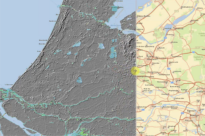
Get open-source Python code to automatically generate ground level profiles to perform geotechnical calculations and create 3D models with your own apps. With this sample application, you can easily retrieve ground level data from the AHN as input information for their projects. Additionally, you can also integrate the open-source data from the sample app in your own application.

Build successful applications
Learn how you (developer, engineer, end-user, domain expert, project manager, etc.) can contribute to the creation of apps that provide real value to your work.
Using the code
There are two ways in which this functionality can be used:
- With VIKTOR, out-of-the-box, using our free version.
- Without VIKTOR, in that case you create the following yourself: Parametrization of geo-location, map view interface, and output visualization.
Here, you see a snippet of the application code. With the following seven lines of Python code you can create map views (return MapResult(features)) and enable users to put lines on the map (params.geo_polyline). Get the full application code from our GitHub repository.
1@MapView('Map', duration_guess=1)
2def get_map_view(self, params: Munch, **kwargs: dict) -> MapResult:
3  """Set the map view on which the line can be drawn for which the AHN values are wished to be known"""
4  features = []
5  if params.geo_polyline:
6    features.append(MapPolyline.from_geo_polyline(params.geo_polyline))
7return MapResult(features)
The video shows the functionality being used in a VIKTOR application.
Ground level profiles in 3 steps
As you can see in the video, the process of creating ground level profiles with the sample application consists of three easy steps:
- Drawing a polyline on a map (using a GeoPolylineField)
- Filling in the required resolution of the resulting profile
- Showing the elevation profile based on AHN3 in a Matplotlib plot
Use our free version to start using this app!
Start building apps now
Try for free
Share

